
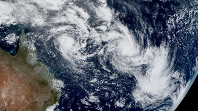
The outer fringe of a tropical cyclone started whipping eastern Australia on Thursday, bringing drenching rains and record-breaking waves to a heavily populated region rarely hit by typhoons.
Tropical Cyclone Alfred was 285 kilometres (180 miles) east of busy Brisbane city after unexpectedly slowing above the Coral Sea overnight, government forecasts said.
Some four million people were in the firing line along a 400-kilometre (250-mile) stretch of coastline expected to see the worst of the storm.
“We’re already seeing gales developing on the coastal fringe,” Bureau of Meteorology forecaster Sarah Scully told AFP.
“There have been very large waves and powerful swells. That’s generated by Alfred lingering in the Coral Sea and creating a whole lot of wave energy.”
A 12.4-metre (40-foot) wave was recorded on the Gold Coast south of Brisbane, Scully said, the largest swell ever picked up by that monitoring station.
Tropical Cyclone Alfred was initially forecast to strike land late on Thursday evening, but was now expected to arrive Friday afternoon or even early Saturday morning.
While this gave coastal hamlets more time to stack sandbags and stockpile food, Scully warned it also left them exposed to wild weather on the storm’s outer edges.
“It will mean that the coastal areas are exposed for a longer period of time.”
Some towns had already seen “well over” 200 millimetres (8 inches) of rain, Scully said.বিস্তারিত